
 Pharma
In the span of just two decades, the world has lost more than 100 million hectares of forest (an area roughly the size of Egypt) largely due to deforestation and degradation. The resulting release of carbon into the atmosphere has made forest preservation a central focus of global climate strategies. But efforts to invest in nature-based climate solutions have long been hampered by a critical problem: the lack of credible, consistent, and scalable data on what’s actually happening on the ground.
Chloris Geospatial, a Boston-based climate-tech company, is tackling this head-on by combining satellite data, sensor fusion, and machine learning to deliver independent measurements of forest carbon from space. The company recently raised $8.5 million in Series A funding to scale its technology and operations, a vote of confidence from investors who believe Chloris could become a foundational platform in global carbon markets.
A Science-First Approach to Forest Monitoring
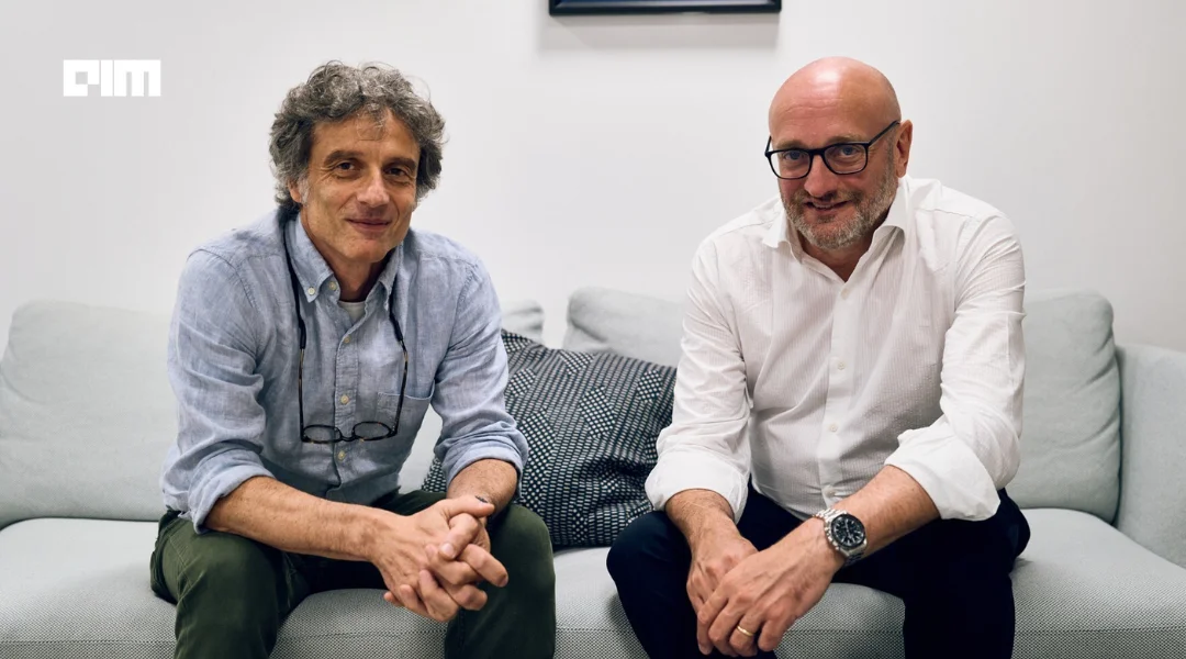
Chloris was co-founded by CEO Marco Albani and Dr. Alessandro Baccini, a leading researcher in remote sensing and forest carbon modeling. Dr. Baccini, who serves as Chief Science Officer, guided the development of the company’s core technology, which measures above-ground biomass and carbon stock dynamics with high spatial resolution, going back to the year 2000.
