How is Deep Forestry Revolutionizing Tree Mapping?

Deep Forestry's autonomous drones, powered by Ouster OS0 lidar and proprietary 3D deep learning, are surveying forests 30 to 100 times faster than manual methods — turning carbon credit monitoring and biodiversity assessment into push-button operations.
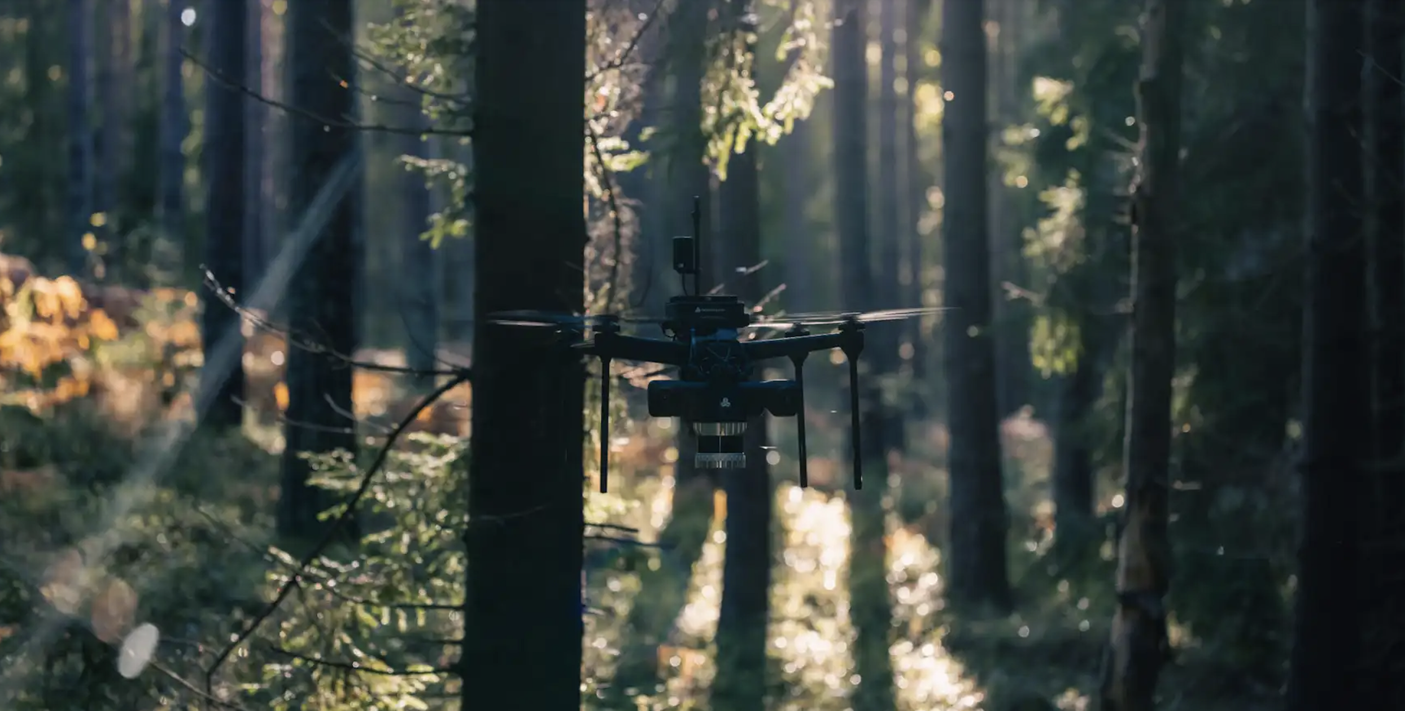
A push-button drone flies into a dense forest, navigates between trees without GPS or human input, scans more than 800 trees in 10 to 20 minutes, and produces a survey-grade 3D map with tree-level metrics — diameter, height, volume, carbon indicators, even wood quality class. No manual piloting. No clearing. No external positioning system.
This is the system Deep Forestry has built using Ouster's OS0 digital lidar, and it represents one of the cleanest examples in 2026 of what happens when high-quality 3D sensors meet domain-specific deep learning models. The combination is reshaping forest inventory, carbon credit verification, and biodiversity protection — three markets that until recently relied on rough manual estimates and visual extrapolation by trained surveyors.
For enterprise AI buyers tracking the physical AI wave, Deep Forestry's deployment is a case study in how the lidar-plus-foundation-model stack is moving from autonomous vehicles into industrial verticals where it matters far more.
The technical stack
Three components do the heavy lifting.
Ouster OS0 lidar. Deep Forestry chose the OS0 specifically for its 90-degree field of view, durability, and the density of its point cloud output. In a GPS-denied environment under a thick canopy, what the drone "sees" in 3D is the only signal it has to navigate by. Ouster's digital lidar produces dense, precise returns at close range — exactly what is needed for a system that has to dodge branches in real time while building a map.
 >
>SLAM and onboard perception. With no GNSS available below the canopy, the drone runs Simultaneous Localisation and Mapping (SLAM) directly on the lidar feed, combined with sensor fusion and onboard autonomy. This is the same class of perception stack used in indoor robotics, AMRs, and certain autonomous vehicle deployments — and it is what enables the system to fly "in-between trees without user input," in the company's own words.
3D deep learning for biodiversity classification. This is where Deep Forestry's IP sits. The Northern European company has built one of the world's first 3D deep learning algorithms for biodiversity classification, capable of learning new species categories at a fraction of the cost of existing AI systems. The model ingests raw lidar data and produces inventory metrics directly — no human-in-the-loop labelling required for routine surveys.
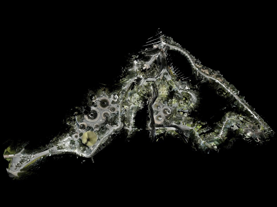
The output is what the industry calls a digital twin: every tree (or object) identified, located, and measured, with metrics that previously did not exist at this resolution — including terrain driveability for downstream logistics planning.
Why the speed gap matters
Manual forest surveys rely on tape measures, clinometers, and trained surveyors walking transects. Coverage is slow, sample-based, and inherently incomplete. The numbers Deep Forestry reports — 30 to 100 times faster than manual methods, with 800-plus trees mapped per 10-to-20-minute mission — close a measurement gap that has cost the forestry, agriculture, and carbon credit industries billions in inaccurate estimates.
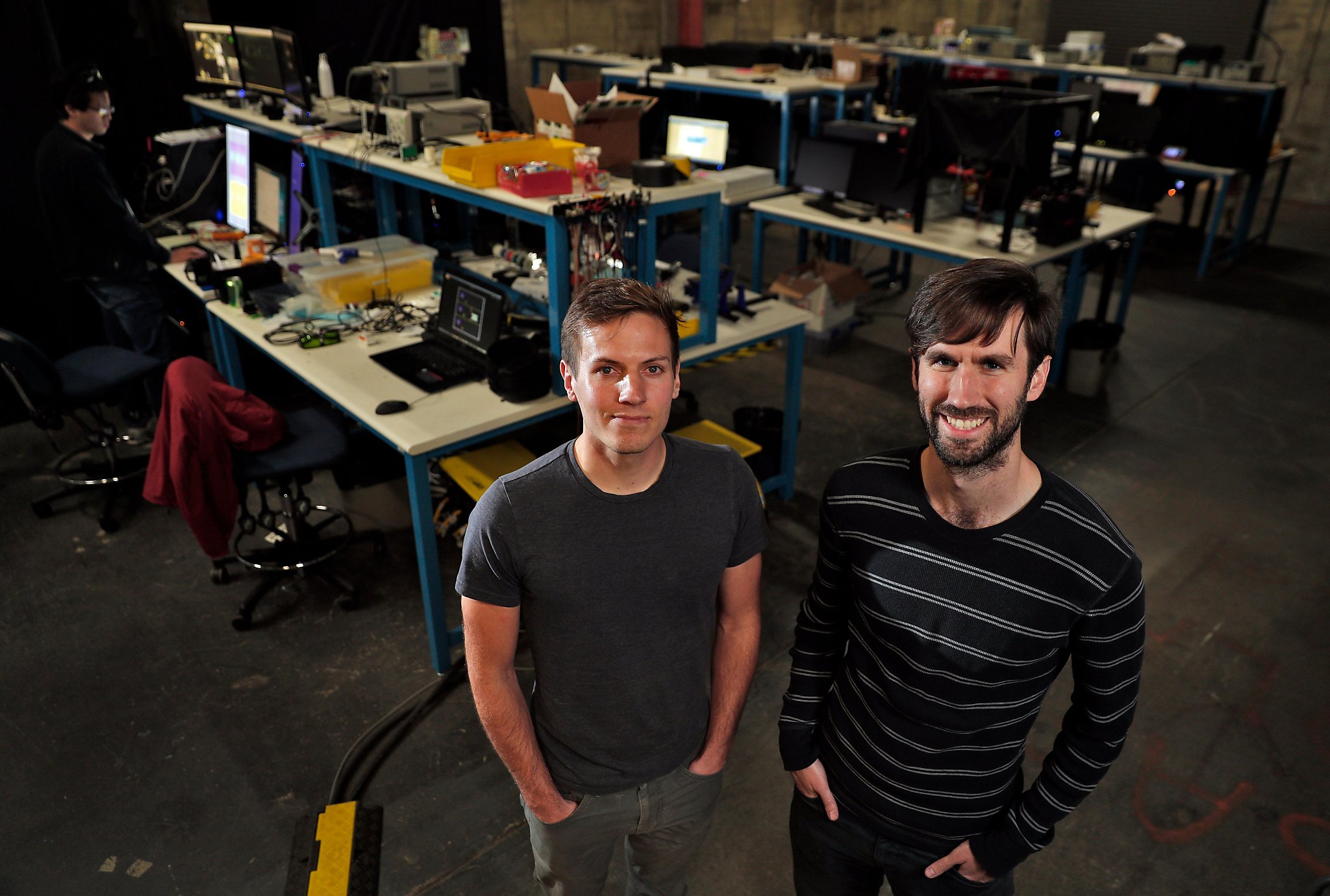
Levi Farrand, Deep Forestry's CEO, has framed the impact in stark terms: when combined with massive industries like forestry, tree-based agriculture, and snack foods, the technology can have a substantial positive impact on global forest ecosystems, society, and the climate. That is the language of climate technology, but the underlying business case is straightforward — better measurement enables better pricing, better compliance, and better operational decisions across multibillion-dollar value chains.
For carbon credit markets specifically, the implications are significant. Carbon offset projects have struggled with verification credibility for years; the ability to produce survey-grade 3D inventory data at this speed makes additionality and permanence claims auditable in ways manual methods never allowed.
 >
>Why Ouster matters in this stack
Ouster's role in the deployment is worth pulling out, because the company has been quietly assembling the lidar infrastructure for a much wider physical AI buildout. The OS0 sensor used by Deep Forestry sits alongside the OS1 and OS2 in Ouster's digital lidar portfolio, with use cases spanning automotive, robotics and drones, industrial automation, traffic systems (Ouster's BlueCity platform), and crowd analytics.
The company has also been investing in developer tooling. Ouster Studio, the company's visualisation and analysis software, now ships with a public library of pre-recorded datasets covering urban intersections, warehouse floors, parking structures, and open roads — captured with OS0, OS1, and OS2 sensors across different channel counts and operating modes. The recent FW3.2 firmware release adds 3D Zone Monitor, Window Blockage Detection, and improved data quality.
For developers evaluating digital lidar or prototyping perception pipelines, that dataset library matters more than it might first appear. It removes the hardware-acquisition step from early-stage perception R&D, the same way pre-trained foundation models removed the data-collection step from early-stage NLP work. It is a small move with a large compounding effect on developer adoption — and a similar pattern is visible across the broader agentic AI infrastructure stack AIM has been tracking.
The industrial drone market behind this
Deep Forestry's system is one node in a fast-growing market. Industrial drones for surveying, inspection, and inventory are increasingly absorbing AI capabilities that were originally built for autonomous vehicles. The architectural pattern — high-fidelity sensor, onboard SLAM, domain-specific deep learning model, automated data pipeline to actionable metrics — is now being replicated across mining, construction, utilities, agriculture, and forestry.
 >
>What separates the winners in this market is rarely the drone itself. It is the combination of sensor selection, perception software quality, and the domain-specific model layered on top. Deep Forestry's choice of Ouster OS0 over alternatives reflects a calculation that close-range density and 90-degree field of view matter more for sub-canopy navigation than longer-range performance. That kind of sensor-application matchmaking is exactly the engineering judgement that distinguishes deployable systems from demos.
The same dynamics are playing out in adjacent verticals. Balyo uses Ouster lidar for warehouse material handling automation, focused on safety in mixed human-robot environments. dConstruct uses Ouster for autonomous robot navigation stacks. Each deployment makes a slightly different sensor choice, but the underlying playbook — high-quality lidar plus domain-trained perception models — is converging.
What this signals for enterprise AI
Three things are worth taking away from the Deep Forestry deployment for anyone tracking enterprise AI deployments at industrial scale.
First, the most interesting AI products in 2026 are not the largest LLMs. They are vertical-specific deep learning systems trained on physical-world data that no one has had at scale before. Lidar-derived 3D data is among the richest training inputs available, and companies that own the sensor-to-model pipeline have a structural advantage.
Second, push-button autonomy is becoming a real product category, not a marketing phrase. Deep Forestry's system can be operated by untrained workers — that is a deliberate design choice with massive implications for total addressable market. AI products that remove operational expertise as a bottleneck consistently outperform AI products that require it.
Third, the GCC and physical AI deployments tracked at MachineCon 2026 increasingly look like Deep Forestry — vertically focused, sensor-rich, deeply integrated into existing industrial workflows. The pattern is consistent across global enterprise tech: the next wave of AI value creation is happening where models meet physical infrastructure.
What comes next
 >
>For Deep Forestry, the roadmap appears to lean further into species classification and ecosystem-level metrics — biodiversity assessment, carbon flux, regulatory adherence, and disease detection are all flagged as active surfaces. Each new metric is a new market, and each market is a new value chain that previously ran on rough estimates.
For Ouster, the broader signal is that digital lidar is becoming the default sensor for serious physical AI deployments. The company's investment in developer ecosystems — public datasets, firmware updates, integrated software like Ouster Studio — is a long-game bet that the volume of perception applications will keep growing, and that being the easiest sensor to build on top of compounds over time.
For the rest of the enterprise AI market, Deep Forestry is a reminder that some of the most consequential AI deployments will not happen in browsers or chat interfaces. They will happen 50 feet under a forest canopy, scanning 800 trees in twenty minutes, with no one piloting the drone.
Key Takeaways
- Utilize autonomous drones to survey forests 30 to 100 times faster than manual methods.
- Employ Ouster OS0 lidar for precise 3D mapping without GPS or human input.
- Achieve accurate carbon credit monitoring and biodiversity assessment through advanced technology.
- Transform forest inventory practices with push-button operations and real-time navigation capabilities.