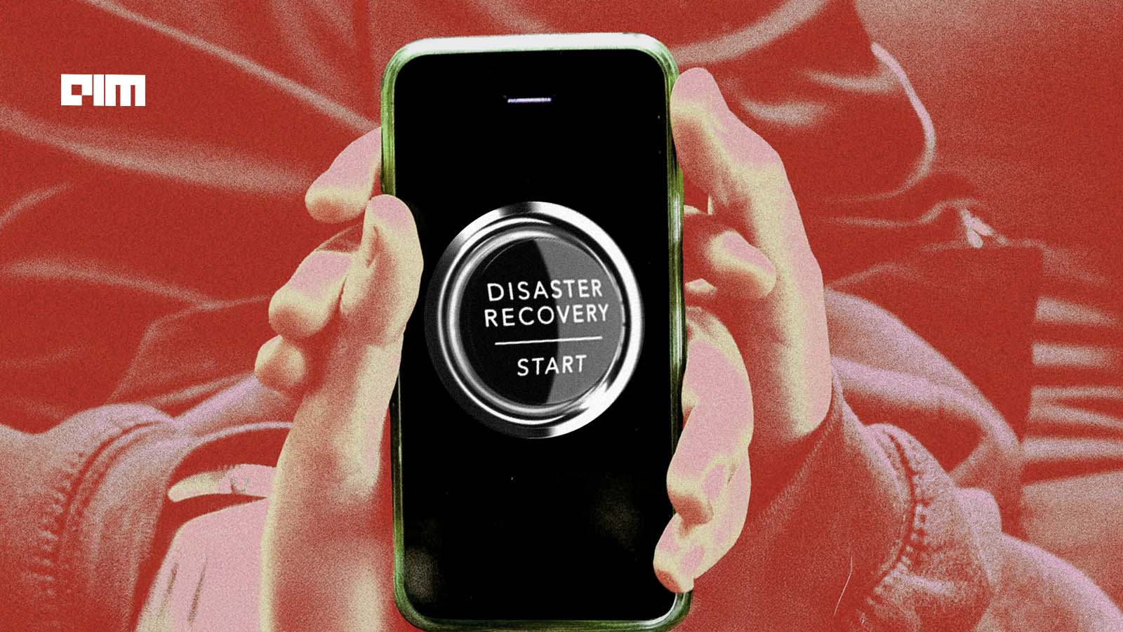
Kansas City Tests AI Damage Assessment With 96% Accuracy in Disaster Drill
The city partnered with X’s Bellwether to compare drone-based AI analysis with manual surveys, cutting assessment time from hours to minutes.
Kansas City tested an AI-based damage assessment system developed by X during a live disaster response simulation, reducing analysis time from several hours to under 30 minutes while maintaining 96% accuracy.
The pilot, conducted with the city’s emergency management team, compared traditional manual surveys with Bellwether, a geospatial AI platform designed to analyze aerial imagery and detect structural damage. According to reporting from GovTech, the system processed drone-captured images of hundreds of homes in about 20 minutes following a short flight, matching human assessments within FEMA’s damage classification range.
City officials currently rely on teams of staff and volunteers to assess storm damage by physically inspecting affected neighborhoods, a process that can take hours or longer depending on scale. These assessments are required to determine eligibility for federal disaster aid and to allocate response resources.
Andrew Ngui, Chief Digital Officer for Kansas City, said speed is critical in the immediate aftermath of extreme weather events, when emergency responders are prioritizing safety and resource deployment.
The Bellwether system uses machine learning models trained on historical disaster data to identify damage patterns such as roof failures or structural anomalies. It classifies severity levels in line with federal assessment standards and produces mapped outputs for emergency teams.
This shift toward automated analysis reflects a broader pattern across industries where AI systems are replacing manual, time-intensive workflows. In logistics and supply chain operations, similar systems are being deployed to accelerate real-time decision-making and reduce operational lag.
Drone Imagery Replaces Manual Field Surveys
During the Kansas City simulation, emergency teams created a controlled scenario by assigning varying levels of damage across a neighborhood. A drone captured aerial imagery of more than 400 homes, which was then processed by Bellwether’s system.
The AI platform analyzed the imagery in minutes, while a separate team of roughly 60 volunteers conducted a parallel, on-the-ground survey. The manual process required most of the afternoon to complete, according to GovTech.

The comparison highlights a direct tradeoff between coverage speed and labor intensity. Manual surveys require physical access, coordination, and time, while drone-based analysis enables remote, area-wide visibility before responders enter affected zones.
Similar transitions are underway in manufacturing, where AI systems are replacing manual inspection and production steps to improve throughput and consistency.
Bellwether Expands Disaster Response Use Cases
Bellwether is part of X’s broader effort to build large-scale systems that analyze environmental data and support decision-making across disaster response, infrastructure monitoring, and risk assessment.
According to X, the platform processes large volumes of Earth observation data to detect changes in the physical environment, enabling faster identification of damaged infrastructure and affected areas.
The Kansas City pilot builds on earlier collaborations with organizations such as the National Guard and Civil Air Patrol, where the system has been used to support post-disaster analysis in events like hurricanes and floods.
The use of AI in these contexts aligns with a wider expansion of enterprise systems that combine data ingestion, analysis, and operational outputs in real time.
For Kansas City, the outcome of the test provides a reference point for integrating automated tools into emergency workflows. The city has not announced deployment timelines, but the results indicate that AI-assisted assessment could reduce delays in disaster response and aid distribution.
Key Takeaways
- Kansas City's AI damage assessment reduced analysis time from hours to under 30 minutes.
- Achieved 96% accuracy in comparing AI analysis with traditional manual surveys.
- Bellwether uses machine learning to identify damage patterns and classify severity levels.
- Automated systems like Bellwether reflect a broader trend in replacing time-intensive workflows.
- Speed in damage assessment is crucial for effective emergency response and resource allocation.